New dry stane dyke
Introduction
The photograph on this page of New dry stane dyke by George Brown as part of the Geograph project.
The Geograph project started in 2005 with the aim of publishing, organising and preserving representative images for every square kilometre of Great Britain, Ireland and the Isle of Man.

There are currently over 7.5m images from over 14,400 individuals and you can help contribute to the project by visiting https://www.geograph.org.uk
New dry stane dyke
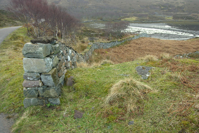
Image: © George Brown Taken: 14 Mar 2009
This rebuilt dyke, topped with turf, heads down the hill, crosses a sea channel and connects with An Dun broch.
Images are licensed for reuse under creativecommons.org/licenses/by-sa/2.0
Image Location
Latitude
58.249634
Longitude
-5.118617