South Barn
Introduction
The photograph on this page of South Barn by David Anstiss as part of the Geograph project.
The Geograph project started in 2005 with the aim of publishing, organising and preserving representative images for every square kilometre of Great Britain, Ireland and the Isle of Man.

There are currently over 7.5m images from over 14,400 individuals and you can help contribute to the project by visiting https://www.geograph.org.uk
South Barn
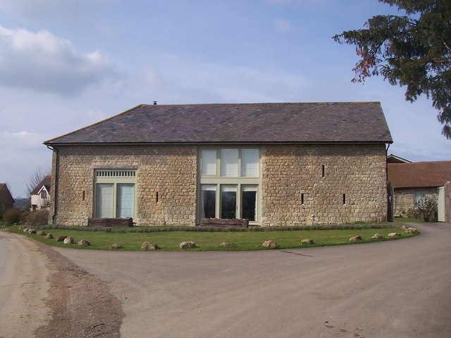
Image: © David Anstiss Taken: 11 Mar 2009
Converted Barn, part of a group of buildings belonging to Boughton Place farm, on Boughton Road. Several buildings have been converted into separate houses.
Images are licensed for reuse under creativecommons.org/licenses/by-sa/2.0
Image Location
Latitude
51.21423
Longitude
0.692966