Malvern view from MEB hut
Introduction
The photograph on this page of Malvern view from MEB hut by Andrew Darge as part of the Geograph project.
The Geograph project started in 2005 with the aim of publishing, organising and preserving representative images for every square kilometre of Great Britain, Ireland and the Isle of Man.

There are currently over 7.5m images from over 14,400 individuals and you can help contribute to the project by visiting https://www.geograph.org.uk
Malvern view from MEB hut
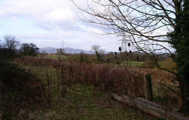
Image: © Andrew Darge Taken: 14 Mar 2009
A view of the Malverns from beside the old MEB training school hut.
Images are licensed for reuse under creativecommons.org/licenses/by-sa/2.0
Image Location
Latitude
52.172758
Longitude
-2.195165