The Wealdway reaches Gover Hill
Introduction
The photograph on this page of The Wealdway reaches Gover Hill by David Anstiss as part of the Geograph project.
The Geograph project started in 2005 with the aim of publishing, organising and preserving representative images for every square kilometre of Great Britain, Ireland and the Isle of Man.

There are currently over 7.5m images from over 14,400 individuals and you can help contribute to the project by visiting https://www.geograph.org.uk
The Wealdway reaches Gover Hill
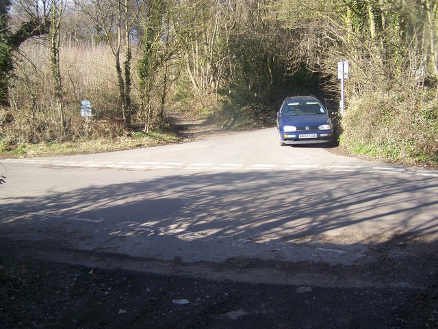
Image: © David Anstiss Taken: 6 Mar 2009
The long distance footpath crosses this road junction to head into a National Trust Woodland and woodland footpath. Gover Hill is the main road, the minor road on the right is Peckham Hurst Road.
Images are licensed for reuse under creativecommons.org/licenses/by-sa/2.0
Image Location
Latitude
51.252477
Longitude
0.336193