Grassington Chamber End Fold
Introduction
The photograph on this page of Grassington Chamber End Fold by Kevin Rushton as part of the Geograph project.
The Geograph project started in 2005 with the aim of publishing, organising and preserving representative images for every square kilometre of Great Britain, Ireland and the Isle of Man.

There are currently over 7.5m images from over 14,400 individuals and you can help contribute to the project by visiting https://www.geograph.org.uk
Grassington Chamber End Fold
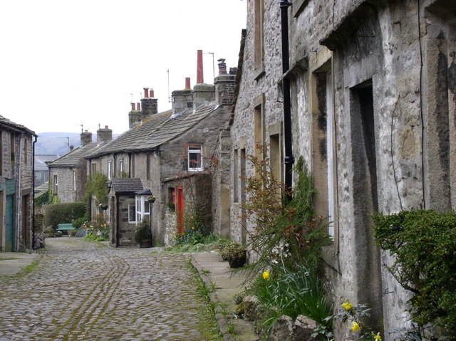
Image: © Kevin Rushton Taken: 12 Apr 2004
Former lead miner's cottages
Images are licensed for reuse under creativecommons.org/licenses/by-sa/2.0
Image Location
Latitude
54.07373
Longitude
-1.997061