St Lawrence Lane, Ashburton
Introduction
The photograph on this page of St Lawrence Lane, Ashburton by Derek Harper as part of the Geograph project.
The Geograph project started in 2005 with the aim of publishing, organising and preserving representative images for every square kilometre of Great Britain, Ireland and the Isle of Man.

There are currently over 7.5m images from over 14,400 individuals and you can help contribute to the project by visiting https://www.geograph.org.uk
St Lawrence Lane, Ashburton
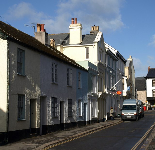
Image: © Derek Harper Taken: 9 Mar 2009
The row of cottages on the left are listed and described at http://www.imagesofengland.org.uk/Details/Default.aspx?id=376137&mode=adv . After this are the green-painted Holly House (http://www.imagesofengland.org.uk/Details/Default.aspx?id=376136&mode=adv ), the three-storey Stafford House (http://www.imagesofengland.org.uk/Details/Default.aspx?id=376135&mode=adv ) and the Post Office 9http://www.imagesofengland.org.uk/details/default.aspx?id=376134 ).
Images are licensed for reuse under creativecommons.org/licenses/by-sa/2.0
Image Location
Latitude
50.515193
Longitude
-3.755279