Brook Road
Introduction
The photograph on this page of Brook Road by Ian Capper as part of the Geograph project.
The Geograph project started in 2005 with the aim of publishing, organising and preserving representative images for every square kilometre of Great Britain, Ireland and the Isle of Man.

There are currently over 7.5m images from over 14,400 individuals and you can help contribute to the project by visiting https://www.geograph.org.uk
Brook Road
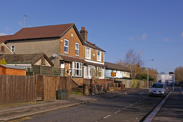
Image: © Ian Capper Taken: 8 Mar 2009
Named after the Redhill Brook, a small section of which is visible at the northern end, before disappearing in a culvert under the road and railway, and re-emering near Hooley Lane at the point shown in Image The pair of houses on the left have date plaques of 1904 (on the near one) and 1905 (on the one beyond).
Images are licensed for reuse under creativecommons.org/licenses/by-sa/2.0
Image Location
Latitude
51.233517
Longitude
-0.169847