Disused grain silos near Elderswell Farm
Introduction
The photograph on this page of Disused grain silos near Elderswell Farm by Stephen Craven as part of the Geograph project.
The Geograph project started in 2005 with the aim of publishing, organising and preserving representative images for every square kilometre of Great Britain, Ireland and the Isle of Man.

There are currently over 7.5m images from over 14,400 individuals and you can help contribute to the project by visiting https://www.geograph.org.uk
Disused grain silos near Elderswell Farm
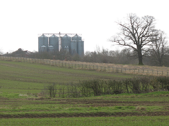
Image: © Stephen Craven Taken: 8 Mar 2009
A distant view like this gives a better impression of how these silos of a disused grain handling plant dominate the landscape than a close-up might. As of August 2006 there was a planning application in for "Demolition of existing buildings and silos and the construction of 39 dwellings and 4 business units" but I could not find whether this has been granted.
Images are licensed for reuse under creativecommons.org/licenses/by-sa/2.0
Image Location
Latitude
52.157155
Longitude
-0.600164