Saul Way, Downpatrick
Introduction
The photograph on this page of Saul Way, Downpatrick by Albert Bridge as part of the Geograph project.
The Geograph project started in 2005 with the aim of publishing, organising and preserving representative images for every square kilometre of Great Britain, Ireland and the Isle of Man.

There are currently over 7.5m images from over 14,400 individuals and you can help contribute to the project by visiting https://www.geograph.org.uk
Saul Way, Downpatrick
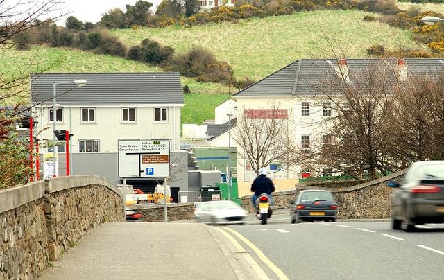
Image: © Albert Bridge Taken: 13 Mar 2009
A recently-opened road connecting the Saul Road to Church Street and New Bridge Street (round the bend to the left). (Shown as “Meadowlands” on the Google map). Typical Lecale drumlins form the background.
Images are licensed for reuse under creativecommons.org/licenses/by-sa/2.0
Image Location
Latitude
54.330792
Longitude
-5.71456