The Eldwick Boundary, Heights Lane
Introduction
The photograph on this page of The Eldwick Boundary, Heights Lane by Richard Kay as part of the Geograph project.
The Geograph project started in 2005 with the aim of publishing, organising and preserving representative images for every square kilometre of Great Britain, Ireland and the Isle of Man.

There are currently over 7.5m images from over 14,400 individuals and you can help contribute to the project by visiting https://www.geograph.org.uk
The Eldwick Boundary, Heights Lane
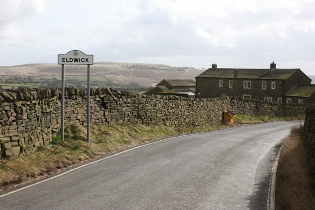
Image: © Richard Kay Taken: 12 Mar 2009
Notice the Yorkshire Rose on the boundary sign. The building on the right is Lower Heights Farm.
Images are licensed for reuse under creativecommons.org/licenses/by-sa/2.0
Image Location
Latitude
53.862209
Longitude
-1.823129