Landscaped woods beside Stonepit Field
Introduction
The photograph on this page of Landscaped woods beside Stonepit Field by Wendy Carey as part of the Geograph project.
The Geograph project started in 2005 with the aim of publishing, organising and preserving representative images for every square kilometre of Great Britain, Ireland and the Isle of Man.

There are currently over 7.5m images from over 14,400 individuals and you can help contribute to the project by visiting https://www.geograph.org.uk
Landscaped woods beside Stonepit Field
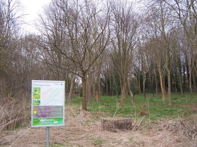
Image: © Wendy Carey Taken: 13 Mar 2009
The development of the woods alongside Stonepit Field by thinning trees and providing paths. The notice explaining the development is also shown.
Images are licensed for reuse under creativecommons.org/licenses/by-sa/2.0
Image Location
Latitude
52.071991
Longitude
-0.767701