Stonepit Field Lakes
Introduction
The photograph on this page of Stonepit Field Lakes by Wendy Carey as part of the Geograph project.
The Geograph project started in 2005 with the aim of publishing, organising and preserving representative images for every square kilometre of Great Britain, Ireland and the Isle of Man.

There are currently over 7.5m images from over 14,400 individuals and you can help contribute to the project by visiting https://www.geograph.org.uk
Stonepit Field Lakes
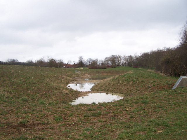
Image: © Wendy Carey Taken: 13 Mar 2009
These new lakes were developed during 2008 by the Milton Keynes Parks Trust to help control floodwater from a nearby new housing development and to provide wetland habitat. In spring 2009 they are only slowly filling up with rainwater. The building on the horizon is the Black Horse pub on the north bank of the Grand Union Canal. You can see the notice about the development athttp://www.geograph.org.uk/photo/1201517
Images are licensed for reuse under creativecommons.org/licenses/by-sa/2.0
Image Location
Latitude
52.072916
Longitude
-0.770156