Keepers Cottage, Near Hastoe, Tring
Introduction
The photograph on this page of Keepers Cottage, Near Hastoe, Tring by Chris Reynolds as part of the Geograph project.
The Geograph project started in 2005 with the aim of publishing, organising and preserving representative images for every square kilometre of Great Britain, Ireland and the Isle of Man.

There are currently over 7.5m images from over 14,400 individuals and you can help contribute to the project by visiting https://www.geograph.org.uk
Keepers Cottage, Near Hastoe, Tring
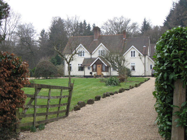
Image: © Chris Reynolds Taken: 1 Mar 2009
This is on the west side of Kiln Lane, and is surrounded on three sides by High Scrubs Wood. It is marked on Bryant's Map of 1822 as being the site of a brick kiln.
Images are licensed for reuse under creativecommons.org/licenses/by-sa/2.0
Image Location
Latitude
51.770655
Longitude
-0.657516