The Chiltern Way crosses a field
Introduction
The photograph on this page of The Chiltern Way crosses a field by Chris Reynolds as part of the Geograph project.
The Geograph project started in 2005 with the aim of publishing, organising and preserving representative images for every square kilometre of Great Britain, Ireland and the Isle of Man.

There are currently over 7.5m images from over 14,400 individuals and you can help contribute to the project by visiting https://www.geograph.org.uk
The Chiltern Way crosses a field
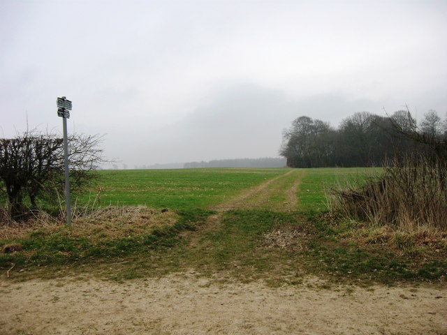
Image: © Chris Reynolds Taken: 1 Mar 2009
The Chiltern Way is a circular route which runs through the Chiltern Hills http://en.wikipedia.org/wiki/Chiltern_Way
Images are licensed for reuse under creativecommons.org/licenses/by-sa/2.0
Image Location
Latitude
51.771742
Longitude
-0.666179