Garlands Road
Introduction
The photograph on this page of Garlands Road by Ian Capper as part of the Geograph project.
The Geograph project started in 2005 with the aim of publishing, organising and preserving representative images for every square kilometre of Great Britain, Ireland and the Isle of Man.

There are currently over 7.5m images from over 14,400 individuals and you can help contribute to the project by visiting https://www.geograph.org.uk
Garlands Road
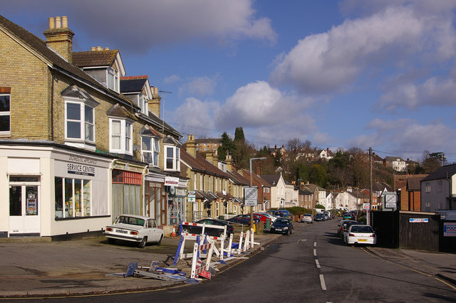
Image: © Ian Capper Taken: 8 Mar 2009
Named after Garlands, a house nearby. The 1895 Godfrey edition map of Redhill shows the eastern side fully developed by then, but only the southern end of the western side.
Images are licensed for reuse under creativecommons.org/licenses/by-sa/2.0
Image Location
Latitude
51.232895
Longitude
-0.172665