Whistley Hill and Queen's Square, Ashburton
Introduction
The photograph on this page of Whistley Hill and Queen's Square, Ashburton by Derek Harper as part of the Geograph project.
The Geograph project started in 2005 with the aim of publishing, organising and preserving representative images for every square kilometre of Great Britain, Ireland and the Isle of Man.

There are currently over 7.5m images from over 14,400 individuals and you can help contribute to the project by visiting https://www.geograph.org.uk
Whistley Hill and Queen's Square, Ashburton
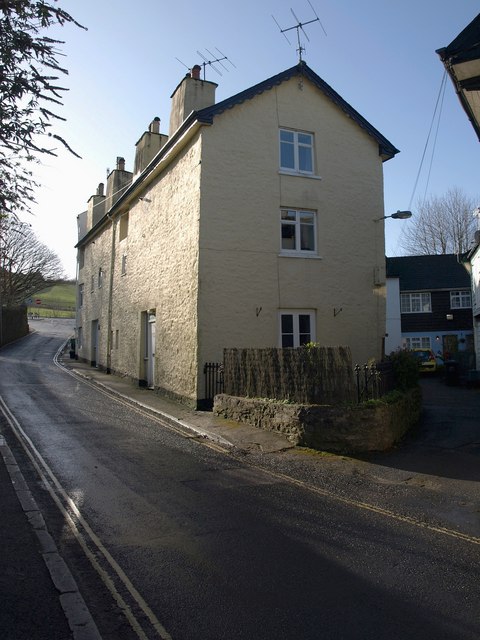
Image: © Derek Harper Taken: 9 Mar 2009
An intriguing corner of the town, with closes opening off one another at the side of an old lane (left) leading uphill eastwards from the town centre, now almost immediately reaching the A38 expressway. The first two houses on this lane, Whistley Hill, are described at http://www.imagesofengland.org.uk/details/default.aspx?id=376194 .
Images are licensed for reuse under creativecommons.org/licenses/by-sa/2.0
Image Location
Latitude
50.514867
Longitude
-3.75301