Field beside Chuley Hill
Introduction
The photograph on this page of Field beside Chuley Hill by Derek Harper as part of the Geograph project.
The Geograph project started in 2005 with the aim of publishing, organising and preserving representative images for every square kilometre of Great Britain, Ireland and the Isle of Man.

There are currently over 7.5m images from over 14,400 individuals and you can help contribute to the project by visiting https://www.geograph.org.uk
Field beside Chuley Hill
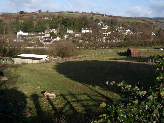
Image: © Derek Harper Taken: 9 Mar 2009
A field between Image and Chuley Bridge, by which Chuley Hill passes beneath the A38 expressway, which can be seen cutting across the photo behind trees. Beyond this is Ashburton, and Bowden Hill.
Images are licensed for reuse under creativecommons.org/licenses/by-sa/2.0
Image Location
Latitude
50.509975
Longitude
-3.755368