End Of The Road
Introduction
The photograph on this page of End Of The Road by Peter Whatley as part of the Geograph project.
The Geograph project started in 2005 with the aim of publishing, organising and preserving representative images for every square kilometre of Great Britain, Ireland and the Isle of Man.

There are currently over 7.5m images from over 14,400 individuals and you can help contribute to the project by visiting https://www.geograph.org.uk
End Of The Road
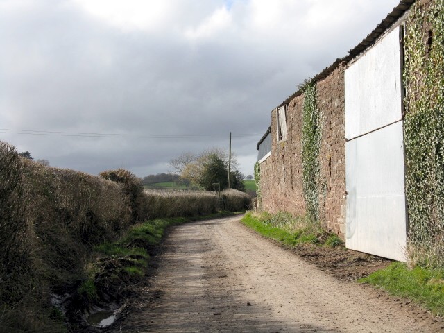
Image: © Peter Whatley Taken: 12 Mar 2009
Lower Maunds Farm is on the right. The footpath sign off to the left is just visible to the left of the telegraph pole in the distance, though rather shaded out by the tree.
Images are licensed for reuse under creativecommons.org/licenses/by-sa/2.0
Image Location
Latitude
52.137132
Longitude
-2.635673