Tafarn Pant y Dderwen at Llangain near Carmarthen
Introduction
The photograph on this page of Tafarn Pant y Dderwen at Llangain near Carmarthen by Gwilym Thomas as part of the Geograph project.
The Geograph project started in 2005 with the aim of publishing, organising and preserving representative images for every square kilometre of Great Britain, Ireland and the Isle of Man.

There are currently over 7.5m images from over 14,400 individuals and you can help contribute to the project by visiting https://www.geograph.org.uk
Tafarn Pant y Dderwen at Llangain near Carmarthen
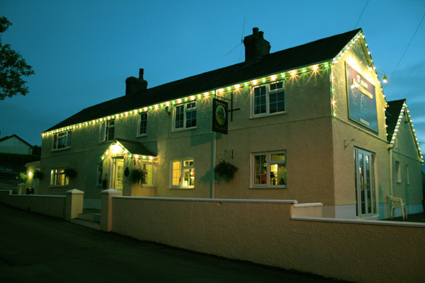
Image: © Gwilym Thomas Taken: 27 May 2008
This was taken at one minute past eleven o'clock at night after a bright sunny day at the end of May. This is the only pub in the village of church, chapel, memorial hall, primary school and a part time post office and shop.
Images are licensed for reuse under creativecommons.org/licenses/by-sa/2.0
Image Location
Latitude
51.817724
Longitude
-4.347671