Pedestrian routes under Oakwood Drive
Introduction
The photograph on this page of Pedestrian routes under Oakwood Drive by Peter Facey as part of the Geograph project.
The Geograph project started in 2005 with the aim of publishing, organising and preserving representative images for every square kilometre of Great Britain, Ireland and the Isle of Man.

There are currently over 7.5m images from over 14,400 individuals and you can help contribute to the project by visiting https://www.geograph.org.uk
Pedestrian routes under Oakwood Drive
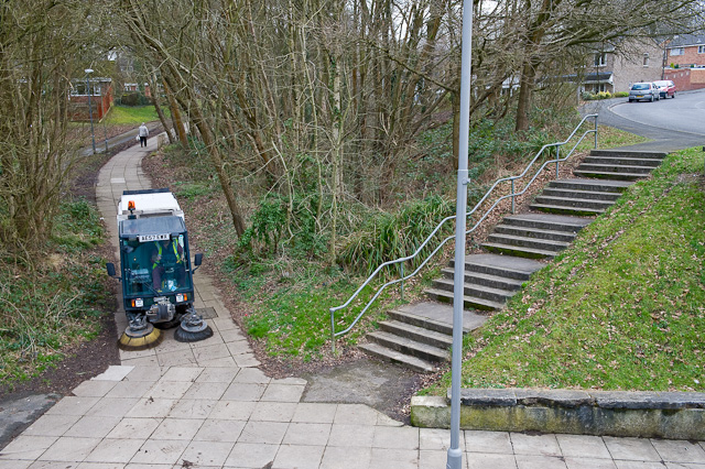
Image: © Peter Facey Taken: 11 Mar 2009
The steps and sloping path lead from Oakwood Drive to the lower level of the path in the foreground which then passes underneath Oakwood Drive, see Image
Images are licensed for reuse under creativecommons.org/licenses/by-sa/2.0
Image Location
Latitude
50.945116
Longitude
-1.431869