Woburn Road, Lordswood
Introduction
The photograph on this page of Woburn Road, Lordswood by Peter Facey as part of the Geograph project.
The Geograph project started in 2005 with the aim of publishing, organising and preserving representative images for every square kilometre of Great Britain, Ireland and the Isle of Man.

There are currently over 7.5m images from over 14,400 individuals and you can help contribute to the project by visiting https://www.geograph.org.uk
Woburn Road, Lordswood
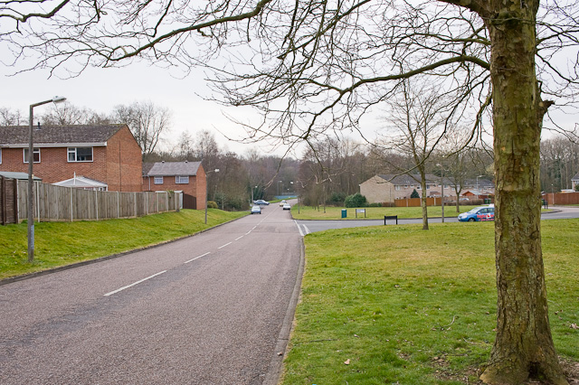
Image: © Peter Facey Taken: 11 Mar 2009
With Sandpiper Road being the turning on the right. The latter runs in a big circle and provides access to this large housing estate. (The grid line runs along the righthand carriageway of Woburn Road.)
Images are licensed for reuse under creativecommons.org/licenses/by-sa/2.0
Image Location
Latitude
50.945927
Longitude
-1.432143