Plough with West Leith beyond.
Introduction
The photograph on this page of Plough with West Leith beyond. by Chris Reynolds as part of the Geograph project.
The Geograph project started in 2005 with the aim of publishing, organising and preserving representative images for every square kilometre of Great Britain, Ireland and the Isle of Man.

There are currently over 7.5m images from over 14,400 individuals and you can help contribute to the project by visiting https://www.geograph.org.uk
Plough with West Leith beyond.
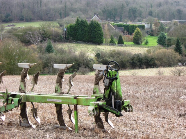
Image: © Chris Reynolds Taken: 10 Mar 2009
The field was partially freshly ploughed, and this was probably left here for the ploughing to be continued later. West Leith was a large farm, now converted to rural housing.
Images are licensed for reuse under creativecommons.org/licenses/by-sa/2.0
Image Location
Latitude
51.78644
Longitude
-0.677779