Public footpath to Markfield
Introduction
The photograph on this page of Public footpath to Markfield by Mat Fascione as part of the Geograph project.
The Geograph project started in 2005 with the aim of publishing, organising and preserving representative images for every square kilometre of Great Britain, Ireland and the Isle of Man.

There are currently over 7.5m images from over 14,400 individuals and you can help contribute to the project by visiting https://www.geograph.org.uk
Public footpath to Markfield
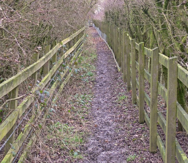
Image: © Mat Fascione Taken: 8 Mar 2009
This path starts at Thornton Lane, travels along the side of the M1 motorway, and onwards to the southern edge of Markfield.
Images are licensed for reuse under creativecommons.org/licenses/by-sa/2.0
Image Location
Latitude
52.672757
Longitude
-1.282991