There was a crooked house ...
Introduction
The photograph on this page of There was a crooked house ... by Ian Capper as part of the Geograph project.
The Geograph project started in 2005 with the aim of publishing, organising and preserving representative images for every square kilometre of Great Britain, Ireland and the Isle of Man.

There are currently over 7.5m images from over 14,400 individuals and you can help contribute to the project by visiting https://www.geograph.org.uk
There was a crooked house ...
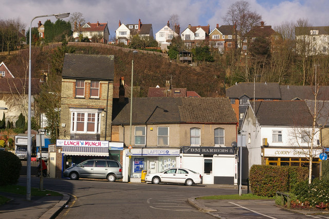
Image: © Ian Capper Taken: 8 Mar 2009
These buildings in Brighton Road seem to have a problem with their verticals and horizontals. On the high ground above is Ridgeway Road.
Images are licensed for reuse under creativecommons.org/licenses/by-sa/2.0
Image Location
Latitude
51.234714
Longitude
-0.171089