Traditional barn at Ullock
Introduction
The photograph on this page of Traditional barn at Ullock by Mike White as part of the Geograph project.
The Geograph project started in 2005 with the aim of publishing, organising and preserving representative images for every square kilometre of Great Britain, Ireland and the Isle of Man.

There are currently over 7.5m images from over 14,400 individuals and you can help contribute to the project by visiting https://www.geograph.org.uk
Traditional barn at Ullock
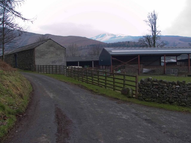
Image: © Mike White Taken: 14 Feb 2009
The barn is of traditional design, with cattle below and feed storage above, though the floor is supported on old railway lines, which project in places.
Images are licensed for reuse under creativecommons.org/licenses/by-sa/2.0
Image Location
Latitude
54.596782
Longitude
-3.17055