St. Vigeans School (Former)
Introduction
The photograph on this page of St. Vigeans School (Former) by Alan Morrison as part of the Geograph project.
The Geograph project started in 2005 with the aim of publishing, organising and preserving representative images for every square kilometre of Great Britain, Ireland and the Isle of Man.

There are currently over 7.5m images from over 14,400 individuals and you can help contribute to the project by visiting https://www.geograph.org.uk
St. Vigeans School (Former)
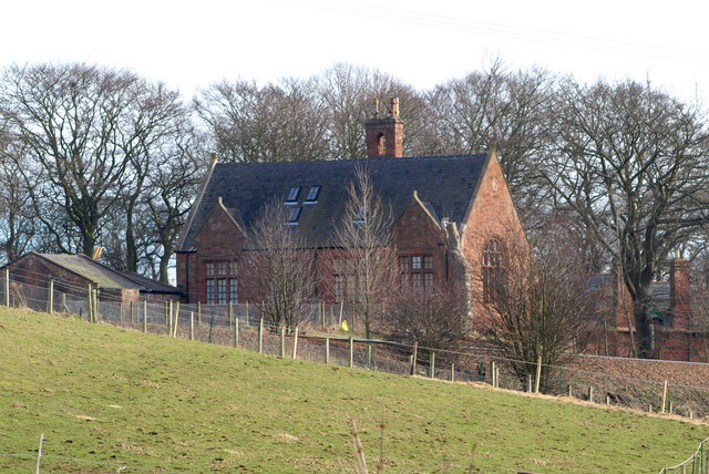
Image: © Alan Morrison Taken: 5 Mar 2009
Picture taken from Mains of Letham / St. Vigeans Road looking east. The School closed in 2001.
Images are licensed for reuse under creativecommons.org/licenses/by-sa/2.0
Image Location
Latitude
56.579162
Longitude
-2.587934