Roblaw Farm.
Introduction
The photograph on this page of Roblaw Farm. by John Holmes as part of the Geograph project.
The Geograph project started in 2005 with the aim of publishing, organising and preserving representative images for every square kilometre of Great Britain, Ireland and the Isle of Man.

There are currently over 7.5m images from over 14,400 individuals and you can help contribute to the project by visiting https://www.geograph.org.uk
Roblaw Farm.
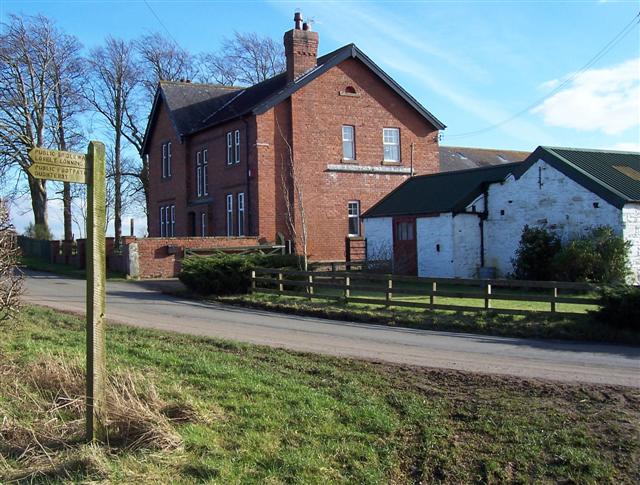
Image: © John Holmes Taken: 10 Feb 2006
The top sign for the footpath says Public Bridleway lovely Lonning which takes a bit of imagination as it is a swampy lane.
Images are licensed for reuse under creativecommons.org/licenses/by-sa/2.0
Image Location
Latitude
54.869326
Longitude
-3.117195