Oakley Road at the Memorial Ground
Introduction
The photograph on this page of Oakley Road at the Memorial Ground by MJ Reilly as part of the Geograph project.
The Geograph project started in 2005 with the aim of publishing, organising and preserving representative images for every square kilometre of Great Britain, Ireland and the Isle of Man.

There are currently over 7.5m images from over 14,400 individuals and you can help contribute to the project by visiting https://www.geograph.org.uk
Oakley Road at the Memorial Ground
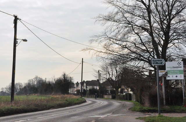
Image: © MJ Reilly Taken: 11 Mar 2009
The B1414 heads out of town from the Mayes Lane junction..
Images are licensed for reuse under creativecommons.org/licenses/by-sa/2.0
Image Location
Latitude
51.922071
Longitude
1.230562