Fryers Farm, Lane End
Introduction
The photograph on this page of Fryers Farm, Lane End by David Ellis as part of the Geograph project.
The Geograph project started in 2005 with the aim of publishing, organising and preserving representative images for every square kilometre of Great Britain, Ireland and the Isle of Man.

There are currently over 7.5m images from over 14,400 individuals and you can help contribute to the project by visiting https://www.geograph.org.uk
Fryers Farm, Lane End
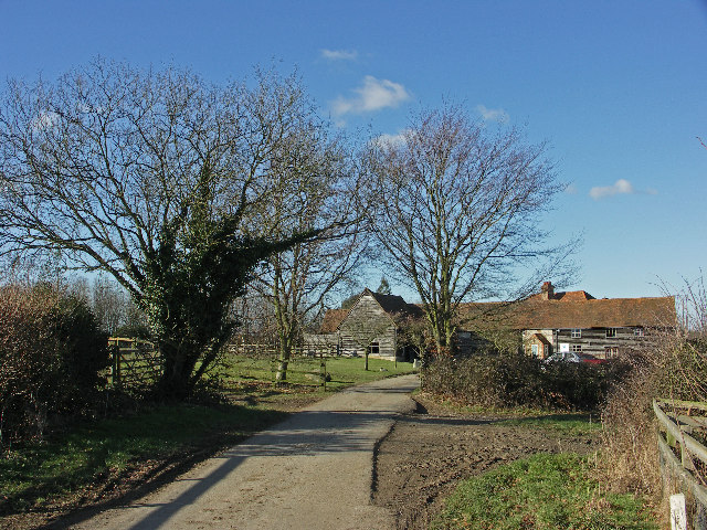
Image: © David Ellis Taken: 9 Feb 2006
Sandage Wood on the lane leading to the Farm hosts paintball games.
Images are licensed for reuse under creativecommons.org/licenses/by-sa/2.0
Image Location


Leaflet Map data © OpenStreetMap
Latitude
51.625339
Longitude
-0.815376