Allotments, Piddington
Introduction
The photograph on this page of Allotments, Piddington by David Ellis as part of the Geograph project.
The Geograph project started in 2005 with the aim of publishing, organising and preserving representative images for every square kilometre of Great Britain, Ireland and the Isle of Man.

There are currently over 7.5m images from over 14,400 individuals and you can help contribute to the project by visiting https://www.geograph.org.uk
Allotments, Piddington
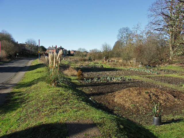
Image: © David Ellis Taken: 9 Feb 2006
The allotments lie between the Old Oxford Road on the left (south) and the A40 on the right.
Images are licensed for reuse under creativecommons.org/licenses/by-sa/2.0
Image Location
Latitude
51.639852
Longitude
-0.828004