Darwin Street, Mountfields
Introduction
The photograph on this page of Darwin Street, Mountfields by Stephen McKay as part of the Geograph project.
The Geograph project started in 2005 with the aim of publishing, organising and preserving representative images for every square kilometre of Great Britain, Ireland and the Isle of Man.

There are currently over 7.5m images from over 14,400 individuals and you can help contribute to the project by visiting https://www.geograph.org.uk
Darwin Street, Mountfields
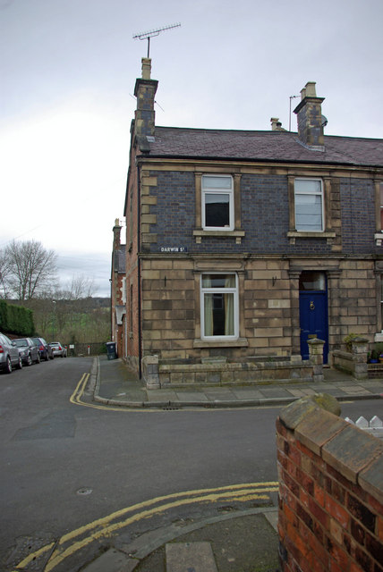
Image: © Stephen McKay Taken: 7 Mar 2009
The network of streets to the north and east of Frankwell, contained within a loop of the River Severn, form part of a conservation area recognising the value of this Victorian suburb. This view is looking along Drinkwater Street at its junction with Darwin Street.
Images are licensed for reuse under creativecommons.org/licenses/by-sa/2.0
Image Location
Latitude
52.712665
Longitude
-2.76095