The Shire Hedge (Bucks/Herts boundary at Tring)
Introduction
The photograph on this page of The Shire Hedge (Bucks/Herts boundary at Tring) by Chris Reynolds as part of the Geograph project.
The Geograph project started in 2005 with the aim of publishing, organising and preserving representative images for every square kilometre of Great Britain, Ireland and the Isle of Man.

There are currently over 7.5m images from over 14,400 individuals and you can help contribute to the project by visiting https://www.geograph.org.uk
The Shire Hedge (Bucks/Herts boundary at Tring)
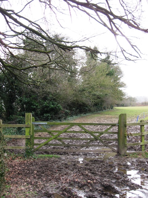
Image: © Chris Reynolds Taken: 10 Mar 2009
The hedge was the line of the Buckinghamshire Hertfordshire boundary, and may well have been here since Saxon times. There was a bridleway running beside it until the Tring Bypass (A41) was built, when the right of way was diverted along the drive to Drayton Manor. More recently the county boundary was changed to include the bypass in Hertfordshire.
Images are licensed for reuse under creativecommons.org/licenses/by-sa/2.0
Image Location
Latitude
51.789456
Longitude
-0.682186