St Ann's Community Orchard
Introduction
The photograph on this page of St Ann's Community Orchard by Alan Murray-Rust as part of the Geograph project.
The Geograph project started in 2005 with the aim of publishing, organising and preserving representative images for every square kilometre of Great Britain, Ireland and the Isle of Man.

There are currently over 7.5m images from over 14,400 individuals and you can help contribute to the project by visiting https://www.geograph.org.uk
St Ann's Community Orchard
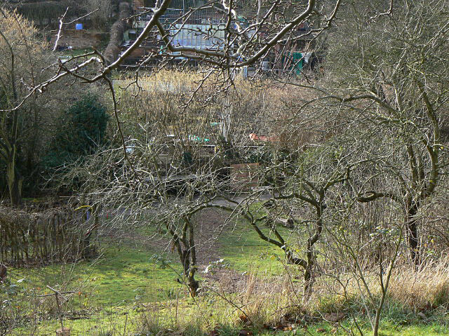
Image: © Alan Murray-Rust Taken: 8 Mar 2009
Developed on unused allotments in 2001, it provides oppotunities for education and community involvement. In 2008 it won an award for Best Community Project as part of Nottingham in Bloom. It even has its own spot on the St Ann's Allotments website http://www.staa-allotments.org.uk/orchard/index.htm
Images are licensed for reuse under creativecommons.org/licenses/by-sa/2.0
Image Location
Latitude
52.968499
Longitude
-1.132038