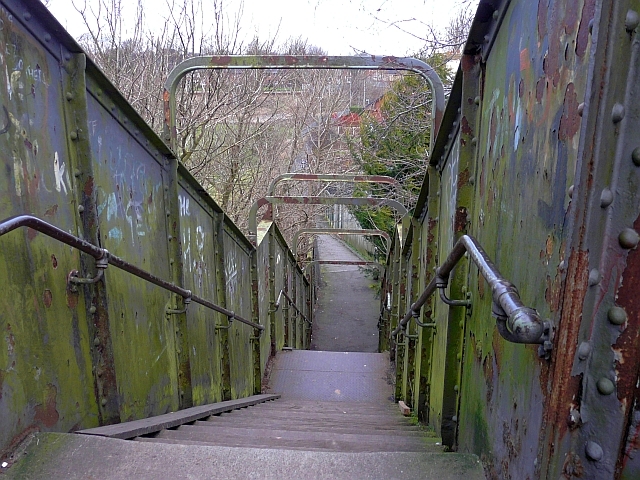
Currock railway footbridge (2) - the steps
Introduction
The photograph on this page of Currock railway footbridge (2) - the steps by Rose and Trev Clough as part of the Geograph project.
The Geograph project started in 2005 with the aim of publishing, organising and preserving representative images for every square kilometre of Great Britain, Ireland and the Isle of Man.
There are currently over 7.5m images from over 14,400 individuals and you can help contribute to the project by visiting https://www.geograph.org.uk

Image: © Rose and Trev Clough Taken: 21 Feb 2009
Steep steps leading down to Maryport Cottages. This is a quick pedestrian route from Currock to the River Caldew and Denton Holme. But negotiating it is impossible in a wheelchair, and very difficult with a bike or buggy. For other views of the bridge, see Geograph photos http://www.geograph.org.uk/photo/1197295 and http://www.geograph.org.uk/photo/1197293 . Information update : This bridge was demolished in September 2016, after a much more user-friendly replacement was installed - see Image .

