Currock railway footbridge (3) - approach from Denton Holme
Introduction
The photograph on this page of Currock railway footbridge (3) - approach from Denton Holme by Rose and Trev Clough as part of the Geograph project.
The Geograph project started in 2005 with the aim of publishing, organising and preserving representative images for every square kilometre of Great Britain, Ireland and the Isle of Man.

There are currently over 7.5m images from over 14,400 individuals and you can help contribute to the project by visiting https://www.geograph.org.uk
Currock railway footbridge (3) - approach from Denton Holme
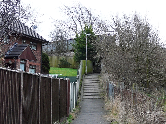
Image: © Rose and Trev Clough Taken: 21 Feb 2009
This view from the footpath beside Maryport Cottages shows the height of the bridge. See also Image and Image . Information update : This bridge was demolished in September 2016, after a much more user-friendly replacement was installed - see Image .
Images are licensed for reuse under creativecommons.org/licenses/by-sa/2.0
Image Location
Latitude
54.880726
Longitude
-2.938262