Hungerhill Road
Introduction
The photograph on this page of Hungerhill Road by Alan Murray-Rust as part of the Geograph project.
The Geograph project started in 2005 with the aim of publishing, organising and preserving representative images for every square kilometre of Great Britain, Ireland and the Isle of Man.

There are currently over 7.5m images from over 14,400 individuals and you can help contribute to the project by visiting https://www.geograph.org.uk
Hungerhill Road
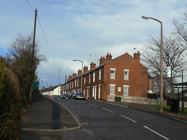
Image: © Alan Murray-Rust Taken: 8 Mar 2009
East of this point the older terraced housing was not cleared. It was the newer end of St Ann's and the houses were generally of better quality than the ones in the redeveloped areas.
Images are licensed for reuse under creativecommons.org/licenses/by-sa/2.0
Image Location
Latitude
52.966077
Longitude
-1.132831