Looking up Robin Hood Chase
Introduction
The photograph on this page of Looking up Robin Hood Chase by Alan Murray-Rust as part of the Geograph project.
The Geograph project started in 2005 with the aim of publishing, organising and preserving representative images for every square kilometre of Great Britain, Ireland and the Isle of Man.

There are currently over 7.5m images from over 14,400 individuals and you can help contribute to the project by visiting https://www.geograph.org.uk
Looking up Robin Hood Chase
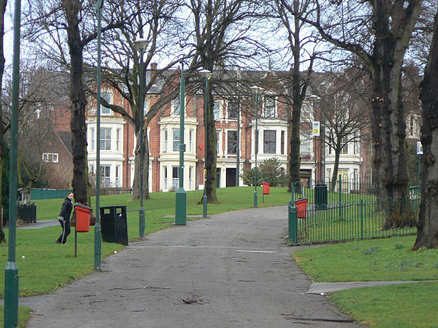
Image: © Alan Murray-Rust Taken: 8 Mar 2009
The houses at the top are on Woodborough Road. Robin Hood Chase is part of the green corridor stretching round the north and east of the City Centre from the Arboretum to St Anns Well Road, built around the 1870s.
Images are licensed for reuse under creativecommons.org/licenses/by-sa/2.0
Image Location
Latitude
52.965624
Longitude
-1.144751