Bodmin Close
Introduction
The photograph on this page of Bodmin Close by Ian Capper as part of the Geograph project.
The Geograph project started in 2005 with the aim of publishing, organising and preserving representative images for every square kilometre of Great Britain, Ireland and the Isle of Man.

There are currently over 7.5m images from over 14,400 individuals and you can help contribute to the project by visiting https://www.geograph.org.uk
Bodmin Close
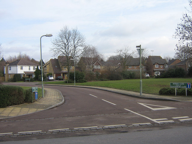
Image: © Ian Capper Taken: 16 Feb 2009
Giving access to the Bromley Indoor Bowls Centre (see Image) and Glastonbury Close (the road for the houses in the photo). This area was previously the site of the Ramsden School for Boys, which closed in 1992. The housing here dates from 1997.
Images are licensed for reuse under creativecommons.org/licenses/by-sa/2.0
Image Location
Latitude
51.374986
Longitude
0.111109