Pasture land near White Hill
Introduction
The photograph on this page of Pasture land near White Hill by Rob Farrow as part of the Geograph project.
The Geograph project started in 2005 with the aim of publishing, organising and preserving representative images for every square kilometre of Great Britain, Ireland and the Isle of Man.

There are currently over 7.5m images from over 14,400 individuals and you can help contribute to the project by visiting https://www.geograph.org.uk
Pasture land near White Hill
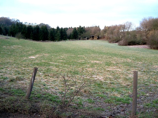
Image: © Rob Farrow Taken: 10 Feb 2006
White Hill rises to the left of this image. This meadow floods in wet weather, sometimes turning into a substantial pool, which often remains under water for weeks.
Images are licensed for reuse under creativecommons.org/licenses/by-sa/2.0
Image Location
Latitude
51.738573
Longitude
-0.567659