B3170 north of Corfe
Introduction
The photograph on this page of B3170 north of Corfe by Derek Harper as part of the Geograph project.
The Geograph project started in 2005 with the aim of publishing, organising and preserving representative images for every square kilometre of Great Britain, Ireland and the Isle of Man.

There are currently over 7.5m images from over 14,400 individuals and you can help contribute to the project by visiting https://www.geograph.org.uk
B3170 north of Corfe
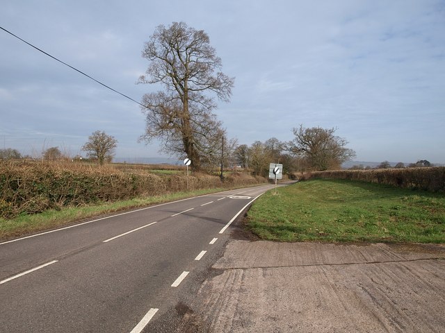
Image: © Derek Harper Taken: 6 Mar 2009
The road to Taunton racecourse passes the delimiting signs at the north end of the village.
Images are licensed for reuse under creativecommons.org/licenses/by-sa/2.0
Image Location
Latitude
50.973284
Longitude
-3.095076