Bourne Valley Nature Reserve, the Bourne
Introduction
The photograph on this page of Bourne Valley Nature Reserve, the Bourne by Mike Faherty as part of the Geograph project.
The Geograph project started in 2005 with the aim of publishing, organising and preserving representative images for every square kilometre of Great Britain, Ireland and the Isle of Man.

There are currently over 7.5m images from over 14,400 individuals and you can help contribute to the project by visiting https://www.geograph.org.uk
Bourne Valley Nature Reserve, the Bourne
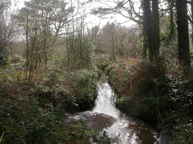
Image: © Mike Faherty Taken: 7 Mar 2009
Bourne Stream, seen from the edge of woodland near Ringwood Road. For 3km, Bourne Valley is a nature reserve, with various habitats & conservation designations. http://www.bournestreampartnership.org.uk/bourne_valley_lnr.htm
Images are licensed for reuse under creativecommons.org/licenses/by-sa/2.0
Image Location
Latitude
50.751521
Longitude
-1.933608