Top of Mansfield Road
Introduction
The photograph on this page of Top of Mansfield Road by Alan Murray-Rust as part of the Geograph project.
The Geograph project started in 2005 with the aim of publishing, organising and preserving representative images for every square kilometre of Great Britain, Ireland and the Isle of Man.

There are currently over 7.5m images from over 14,400 individuals and you can help contribute to the project by visiting https://www.geograph.org.uk
Top of Mansfield Road
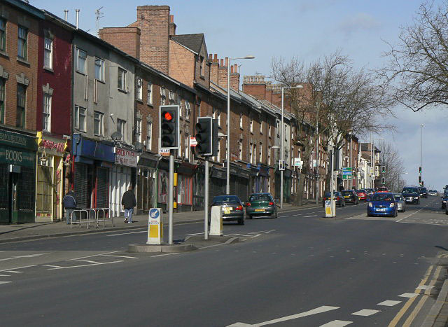
Image: © Alan Murray-Rust Taken: 8 Mar 2009
Mansfield Road carries on for several miles beyond the crest visible, but this is the summit coming out of the City centre and the description would be well understood locally. One of a series showing different building styles on Mansfield Road. See http://www.geograph.org.uk/search.php?i=5550541
Images are licensed for reuse under creativecommons.org/licenses/by-sa/2.0
Image Location
Latitude
52.963792
Longitude
-1.152529