View of Chiserley, Wadsworth
Introduction
The photograph on this page of View of Chiserley, Wadsworth by Humphrey Bolton as part of the Geograph project.
The Geograph project started in 2005 with the aim of publishing, organising and preserving representative images for every square kilometre of Great Britain, Ireland and the Isle of Man.

There are currently over 7.5m images from over 14,400 individuals and you can help contribute to the project by visiting https://www.geograph.org.uk
View of Chiserley, Wadsworth
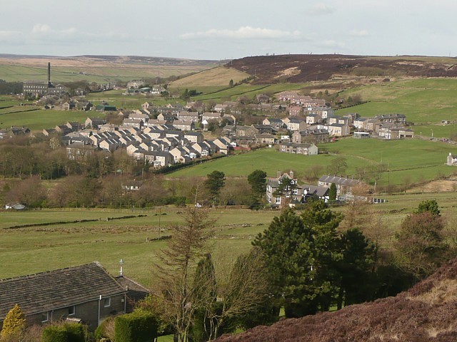
Image: © Humphrey Bolton Taken: 5 Mar 2009
Chisley up to 1964, but changed to Chiserley on the OS map by 1969. From being a loose hamlet of farms, mills and terrace houses for mill-workers it has grown to be a village.
Images are licensed for reuse under creativecommons.org/licenses/by-sa/2.0
Image Location
Latitude
53.75017
Longitude
-1.998446