Annington Farm
Introduction
The photograph on this page of Annington Farm by Simon Carey as part of the Geograph project.
The Geograph project started in 2005 with the aim of publishing, organising and preserving representative images for every square kilometre of Great Britain, Ireland and the Isle of Man.

There are currently over 7.5m images from over 14,400 individuals and you can help contribute to the project by visiting https://www.geograph.org.uk
Annington Farm
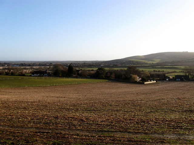
Image: © Simon Carey Taken: 8 Mar 2009
Viewed from the bridleway that links the South Downs Way with Coombes Road. Upper Beeding and Truleigh Hill are on the far side of the valley.
Images are licensed for reuse under creativecommons.org/licenses/by-sa/2.0
Image Location
Latitude
50.872153
Longitude
-0.311685