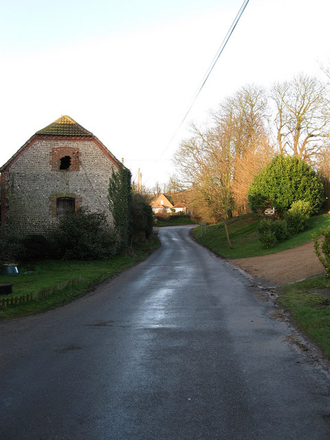
Botolphs Road, Annington
Introduction
The photograph on this page of Botolphs Road, Annington by Simon Carey as part of the Geograph project.
The Geograph project started in 2005 with the aim of publishing, organising and preserving representative images for every square kilometre of Great Britain, Ireland and the Isle of Man.
There are currently over 7.5m images from over 14,400 individuals and you can help contribute to the project by visiting https://www.geograph.org.uk

Image: © Simon Carey Taken: 8 Mar 2009
The disused barn to the left belongs to Annington Farm. The small hamlet of Annington is part of Botolphs though it was once a separate entity, the latter was actually known as Old Bridge on the account of an old river crossing to the east of the church and flourished in the early medieval period to the extent that the church was extended and rededicated in the 13th century to St Botolph, the patron saint of travellers, having previously been dedicated to St Peter. During the 15th century both communities suffered badly, from the rerouting of trade via the bridges at Bramber and Beeding and the Black Death shrinking both to the shadow of the former selves. Subsequently, with the old bridge gone the parish name began to be used for both communities so that by the 16th century Botolphs had become the de facto village name. At the beginning of the 19th century there were only five houses in the parish giving an indication of the depopulation that had occurred. The road in view is the minor lane that links Steyning with the Sussex Pad Inn on the modern A27.

