The Citadel Gate
Introduction
The photograph on this page of The Citadel Gate by Mary and Angus Hogg as part of the Geograph project.
The Geograph project started in 2005 with the aim of publishing, organising and preserving representative images for every square kilometre of Great Britain, Ireland and the Isle of Man.

There are currently over 7.5m images from over 14,400 individuals and you can help contribute to the project by visiting https://www.geograph.org.uk
The Citadel Gate
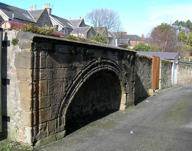
Image: © Mary and Angus Hogg Taken: 6 Mar 2009
This old gate in Citadel Lane was the main entrance to the fort which was built here by the Cromwellian government in 1652. The fort was abandoned in 1660 when Charles II was restored to the throne. The buildings were dismantled in the early 18th century but this gate and large sections of the walls still survive. (Source: information plaque in the gate). The original gate was much higher than this photo suggests, as the ground level here has risen in height.
Images are licensed for reuse under creativecommons.org/licenses/by-sa/2.0
Image Location
Latitude
55.464134
Longitude
-4.635609