Buckingham Road, Tring
Introduction
The photograph on this page of Buckingham Road, Tring by Chris Reynolds as part of the Geograph project.
The Geograph project started in 2005 with the aim of publishing, organising and preserving representative images for every square kilometre of Great Britain, Ireland and the Isle of Man.

There are currently over 7.5m images from over 14,400 individuals and you can help contribute to the project by visiting https://www.geograph.org.uk
Buckingham Road, Tring
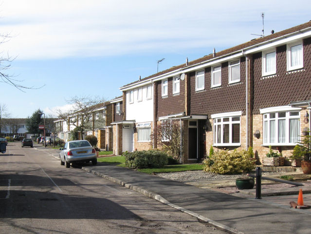
Image: © Chris Reynolds Taken: 6 Mar 2009
The west end of the road consists of terraced houses and were built by a different builder two or three years later that the houses at the east end of the road.
Images are licensed for reuse under creativecommons.org/licenses/by-sa/2.0
Image Location
Latitude
51.793717
Longitude
-0.677277