A farming puzzle.
Introduction
The photograph on this page of A farming puzzle. by John Holmes as part of the Geograph project.
The Geograph project started in 2005 with the aim of publishing, organising and preserving representative images for every square kilometre of Great Britain, Ireland and the Isle of Man.

There are currently over 7.5m images from over 14,400 individuals and you can help contribute to the project by visiting https://www.geograph.org.uk
A farming puzzle.
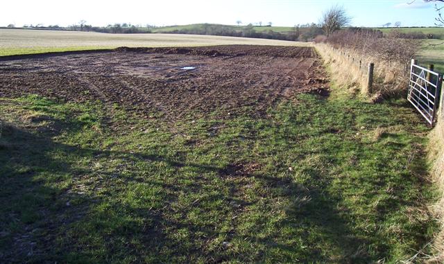
Image: © John Holmes Taken: 9 Feb 2006
The first part of the field has its top soil removed then there is the ploughed patch with the rest a stubble field under sown I think. The only conclusion I can come up with is an area for farm yard manure to rot down and a crop of bird cover such as kale behind. If ever I find out the correct reason I will amend the information.
Images are licensed for reuse under creativecommons.org/licenses/by-sa/2.0
Image Location
Latitude
54.79728
Longitude
-3.032766