Ladylands area of Selkirk
Introduction
The photograph on this page of Ladylands area of Selkirk by Mark Hope as part of the Geograph project.
The Geograph project started in 2005 with the aim of publishing, organising and preserving representative images for every square kilometre of Great Britain, Ireland and the Isle of Man.

There are currently over 7.5m images from over 14,400 individuals and you can help contribute to the project by visiting https://www.geograph.org.uk
Ladylands area of Selkirk
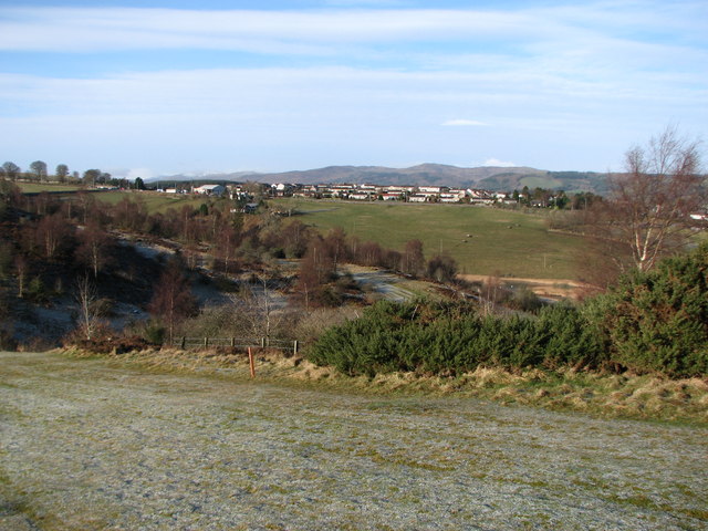
Image: © Mark Hope Taken: 6 Mar 2009
Ladylands viewed from the edge of the golf course. The Pot loch is just visible on the right.
Images are licensed for reuse under creativecommons.org/licenses/by-sa/2.0
Image Location
Latitude
55.544669
Longitude
-2.833568