Rose Grove Lane, Luddenden Foot
Introduction
The photograph on this page of Rose Grove Lane, Luddenden Foot by Humphrey Bolton as part of the Geograph project.
The Geograph project started in 2005 with the aim of publishing, organising and preserving representative images for every square kilometre of Great Britain, Ireland and the Isle of Man.

There are currently over 7.5m images from over 14,400 individuals and you can help contribute to the project by visiting https://www.geograph.org.uk
Rose Grove Lane, Luddenden Foot
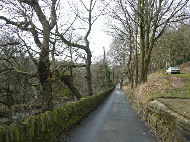
Image: © Humphrey Bolton Taken: 5 Mar 2009
Just inside the old Luddenden Foot Urban District boundary. A very narrow lane, not one-way, but motor vehicles are banned from entering from the other (western) end.
Images are licensed for reuse under creativecommons.org/licenses/by-sa/2.0
Image Location
Latitude
53.712398
Longitude
-1.927238